Overview and updates on projects relevant to Connecticut

Reports explore vessel liability, fishing compensation questions
A series of 14 legal and policy reports on offshore wind are now available. Two of the reports were written in response to questions submitted by CT Sea Grant in response to requests from a a CT seafood harvesters advisory panel.
[Read More]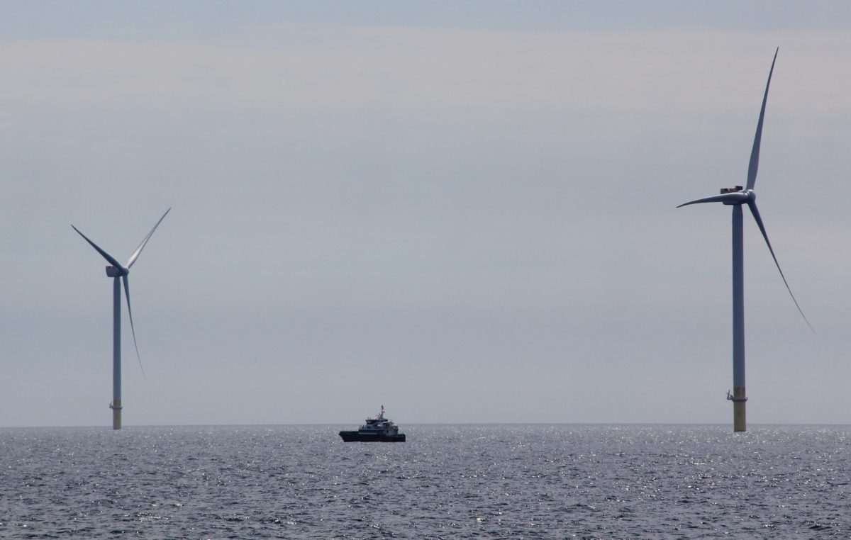
Tour showcases South Fork Wind project
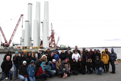
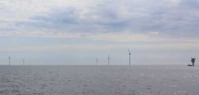
Dozens of local officials and representatives of media and local organizations including Connecticut Sea Grant joined a tour of the South Fork Wind project, located off the south shore of Long Island, on May 14.
[Read More]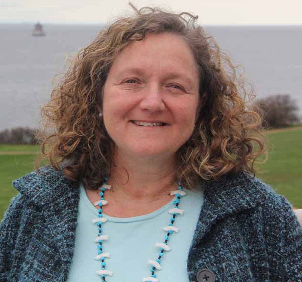
CTSG research coordinator among Sea Grant award recipients
CT Sea Grant Research Coordinator Syma Ebbin was among a team from Northeast Sea Grant programs chosen for a 2023-2024 Northeast Superior Programming Award for their work on building offshore wind energy capacity within the Northeast Sea Grant Consortium.
[Read More]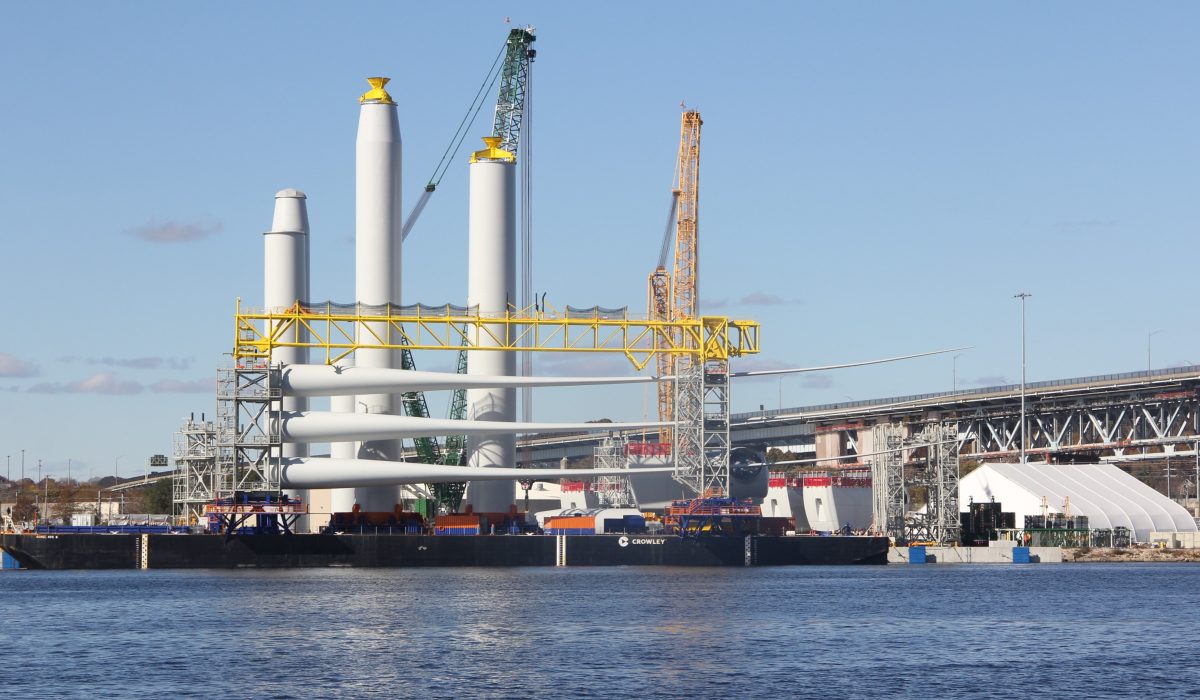
Big picture view on offshore wind industry in our backyard
This op-ed article written by CTSG Communications Coordinator Judy Benson and published in Connecticut newspapers looks at the offshore wind industry in New London in the context of history and the world environment.
[Read More]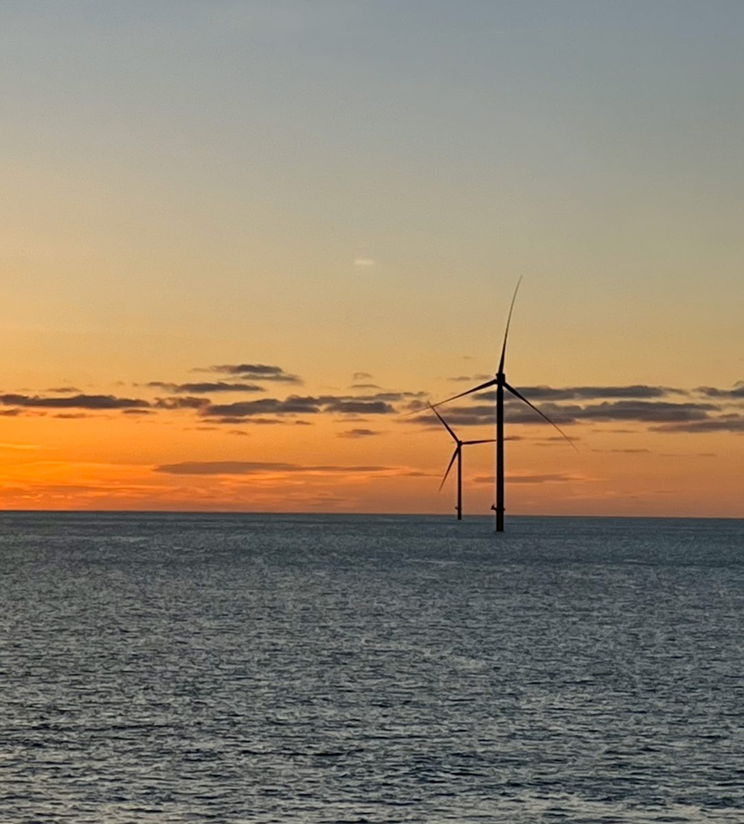
2024 Coastal Perspectives Lecture Series begins Feb. 6
The 2024 Coastal Perspective Lecture Series begins at 7:30 p.m. Feb. 6 with a talk titled, “The Development, Construction and Fisheries Monitoring of Ørsted’s South Fork Wind Farm.”
[Read More]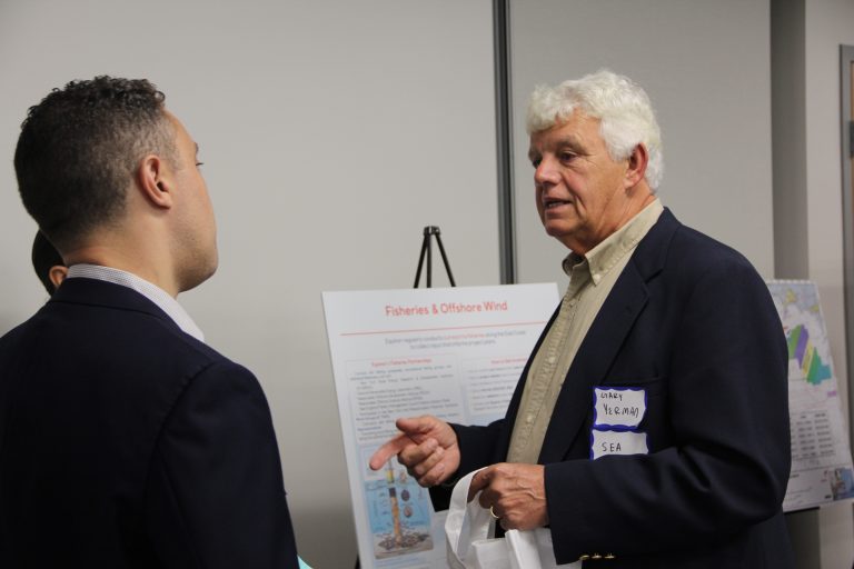
KEY RESOURCES
- Northeast Sea Grant Consortium Ocean Renewable Energy Initiatives: https://www.northeastseagrant.com/initiatives
- Wind Exchange (federal Office of Energy Efficiency & Renewable https://www.seagrantenergy.org/data-and-dashboardsEnergy): https://windexchange.energy.gov/
- CT specific Wind Exchange page: https://windexchange.energy.gov/states/ct
- Fisheries Mitigation Project: https://offshorewindpower.org/fisheries-mitigation-project
- NOAA Fisheries New England/North Atlantic: https://www.fisheries.noaa.gov/
region/new-england-mid-atlantic - National Renewable Energy Laboratory: https://www.nrel.gov/
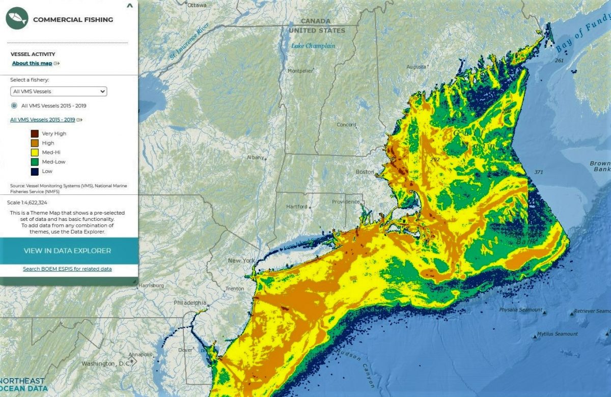
- Northeast Ocean Data Portal: https://www.northeastoceandata.org
- Federal Bureau of Ocean Energy Management: https://www.boem.gov/renewable-energy
- Responsible Offshore Development Alliance: https://rodafisheries.org/
- Responsible Offshore Science Alliance: https://www.rosascience.org
