Story and photos by Judy Benson
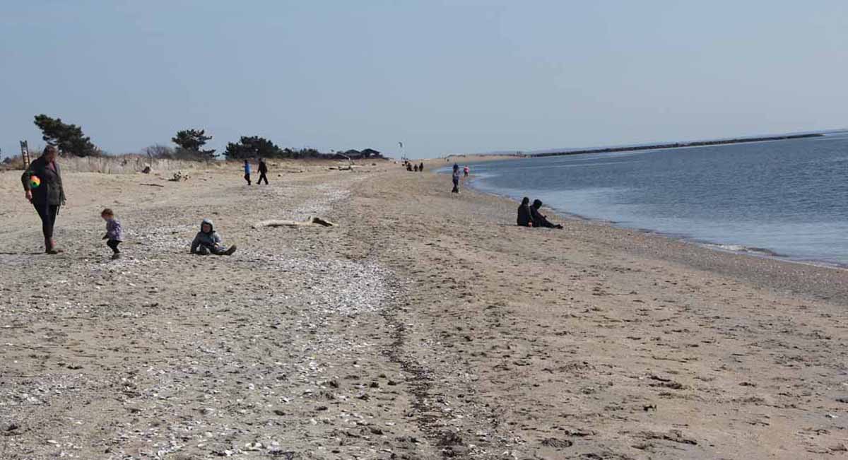
Spring’s sunny beginning on March 20 drew dozens of beachgoers to Hammonasset Beach State Park in Madison, making for an especially fitting backdrop for the public release of the Long Island Sound Blue Plan, a first-of-its-kind inventory and guide for the estuary shared by Connecticut and New York.
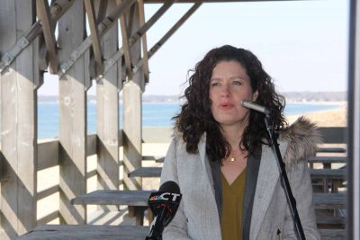
“Long Island Sound is Connecticut’s most valuable natural resource,” said Katie Dykes, commissioner of the state Department of Energy and Environmental Protection, during an event at an open pavilion on the beach announcing the 90-day public comment period on the draft version of the Blue Plan. “The plan is meant to protect natural resources and traditional uses, and to be inclusive of all users and perspectives. Stakeholder involvement has been a vital part of this effort.”
Commissioned in 2015 by the state Legislature, creation of the plan was led by DEEP, Connecticut Sea Grant and Connecticut chapter of The Nature Conservancy, with input from dozens of representatives of commercial, recreational, marine science and environmental advocacy sectors. Its purpose is to document important natural and human use areas so they can be factored in as future development is proposed, Dykes said. The plan covers areas of the Sound more than 10 feet in depth, leaving near-shore areas under existing coastal management structures. It won’t increase regulations, but instead provides information to guide decisions based on current regulations.
“We welcome and encourage comment and feedback to the draft,” said Dykes. She noted that it is meant to be “a living plan,” that will be updated every five years.
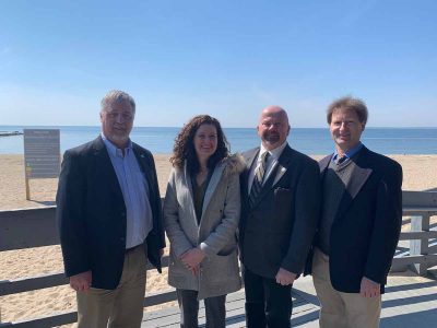
The draft was completed under budget and a day early, noted Connecticut Sea Grant Director Sylvain De Guise, who led the effort to inventory important natural areas – including nesting areas for endangered sea birds, cold water coral habitats, eelgrass and shellfish beds and many others — along with more than 50 significant human use areas for sailing, shipping, commercial fishing and other activities. Grants from the Long Island Sound Futures Fund, the EPA Long Island Sound Study, the Gordon and Betty Moore Foundation and other sources made important contributions to final project, he added.
“The Blue Plan is meant to protect what we care about, and reduce conflict in the future,” he said. “Its guiding principles are that it be science-based, embrace public engagement and transparency, and strike a balance between economic benefits and environmental protection.”
Nathan Frohling, director of marine and coastal initiatives for The Nature Conservancy, recalled that the “wake-up call” for an overarching mechanism to manage the Sound and its resources came over a decade ago, when a liquefied natural gas processing plant was proposed to be located in New York waters of the Sound. The plan was ultimately rejected in 2008 by regulators amid substantial public opposition to industrialization of the waterway. The episode nonetheless raised awareness that the estuary could be vulnerable to similar proposals in the future without a comprehensive planning policy for the waters and submerged lands of the Sound.
“Long Island Sound is an amazing marine ecosystem, and it is a vast open space owned by the public,” he said. “We realized there was no coordinated way to govern how it could be developed. This Blue Plan is about all the places that matter most to nature and most to people. We’ve identified them and mapped them and created a framework to protect them.”
The plan also promotes communication between proposed new users of the Sound and existing ones, he added.
“It respects each voice, it respects knowledge, and protects what we love,” he said.

After the 90-day comment period closes on June 21, the Blue Plan will be revised from the draft to the final version. It will then be submitted to the Environment Committee of the state Legislature, who will consider whether to forward it to the full General Assembly for approval, or send it back for further revisions, said Kevin O’Brien of DEEP, who headed the data and mapping work team for the project.
He added that while a limited number of print copies of the 400-500 page Blue Plan will be created, the main means of access will be online, where the numerous maps and data sets that have been compiled are available. After the announcement in a pavilion at the beach, the event moved to the nearby Meigs Point Nature Center for demonstrations of the various maps and the viewer that allows multiple mapping layers to be viewed simultaneously.
“This is really a resource not just for experts and managers, but for the public as well,” O’Brien said.
Access the Blue Plan here.

Judy Benson is the communications coordinator for Connecticut Sea Grant.